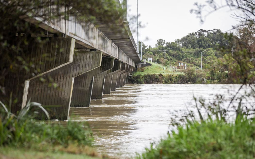
In June, the government approved funding of $22.9 million to protect Westport from future flooding of the Buller (pictured) and Orowaiti rivers. Photo: RNZ / Nate McKinnon
West Coast Regional Council can move forward with preliminary flood protection design work for Westport.
It will also reconsider how to protect Carters Beach, an area the government had decided not to include in flood mitigation work.
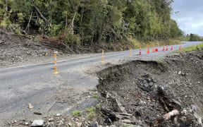
It comes after a technical review by engineering consultancy Tonkin and Taylor found the concept design for flood protection was sound, but needed further refinement.
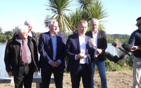
West Coast Regional Council chair Peter Haddock said it was a significant milestone for the Westport Flood Protection Project and would allow council to get on with its work.
In June, the government approved funding of $22.9 million to protect Westport from future flooding of the Buller and Orowaiti rivers.
It was half of the funding West Coast Regional Council and Buller District Council asked for, after two devastating floods forced thousands of people from their homes, leaving many unliveable.
The two councils put forward a $56m proposal known as the 'Kawatiri Business Case' to the government last July. It included a full ring bank option for Westport and Carters Beach, but left out the northern Snodgrass Road area by the Orowaiti River.
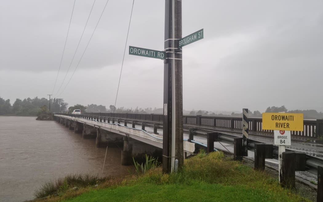
Orowaiti River pictured after two days of rain in early 2022. Photo: RNZ / Samantha Gee
The proposal for co-funding flood protection in the coastal town, split 75/25, was regarded as a test case for what could be done in similar communities.
The government's commitment of $22.9m funding meant significant variations were needed to the original plan but there has been scant detail on what that will look like.
The council will also reconsider how to protect Carters Beach from future flood events.
The beach town had been excluded in the government's funding because it was thought the ring embankment would raise water levels in the Buller River, block an overflow path when the river is flood and pose a threat to the Buller bridge.
The Tonkin and Taylor review found this was incorrect and protection of the area would be revisited.
The council will consult with the community on the final design through the preliminary and detailed design phases.
![NZ Defence Force/supplied
[57] An aerial view of the eastern end of Westport during the July 2021 flood.](https://media.rnztools.nz/rnz/image/upload/s--BS6Ege2I--/ar_16:10,c_fill,f_auto,g_auto,q_auto,w_288/v1676944005/4LD8J25_20210718_NZDF_P1024180_057_2_scaled_jpg)