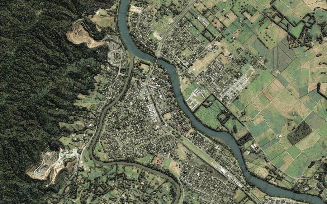
An aerial map of Te Aroha. Photo: Waikato Regional Council / Supplied
Waikato Regional Council has released the first of its new online 3D aerial maps, saying they are a gamechanger for the region.
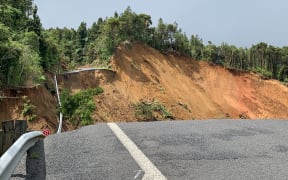
Technical project lead Bryan Clements said the council has already been able to use the maps to respond to flooding events in Coromandel.
He said the project data has assisted in multiple ways.
"Right now we have engineering companies using this data to figure out where the landslips are and the volumes of material that has fallen off the side of a cliff."
The maps were also helping teams go through design scenarios for the repair of State Highway 25.
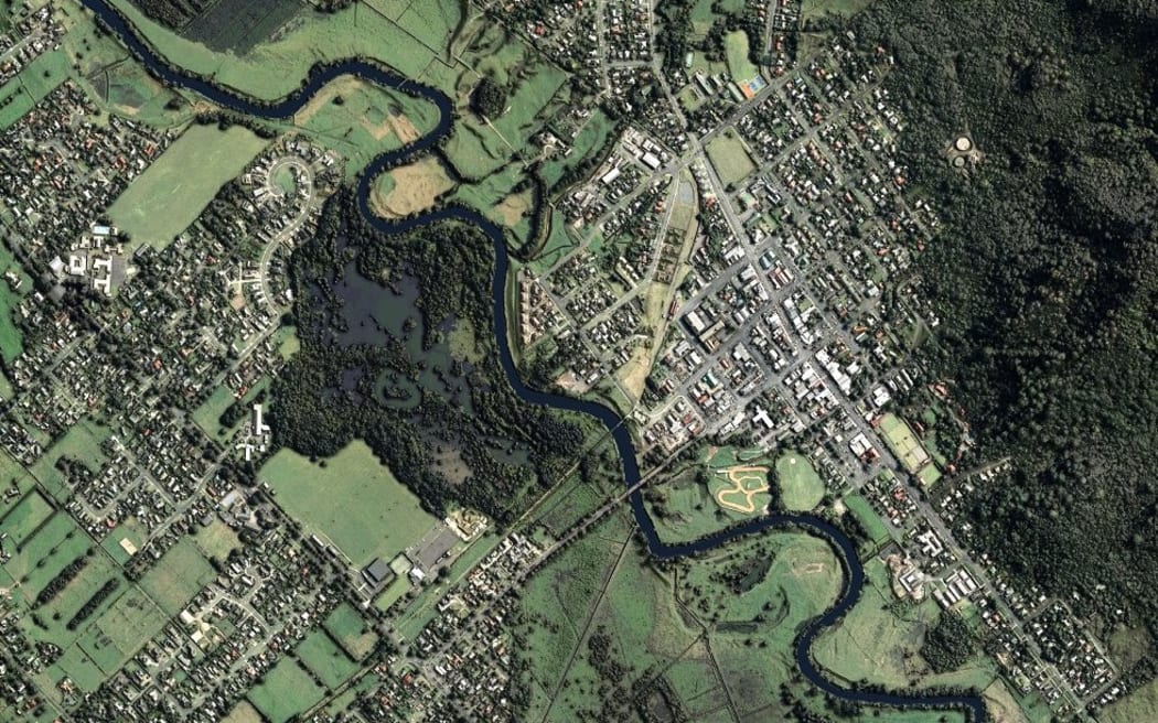
An aerial view of Ngāruawāhia. Photo: Waikato Regional Council / Supplied
Clement said the whole community benefited from having the aerial maps, available online for free. As an example, he talked about farm environment plans.
"We'll be able to provide farmers, free of charge, water course map layers or information on steep slopes on their farms which might be prone to soil erosion."
These were the sorts of things farmers would need to include in farm plans, and the maps would help with compliance.
Approximately 40 percent of the maps are online, with the entire region to be available by mid-2023.