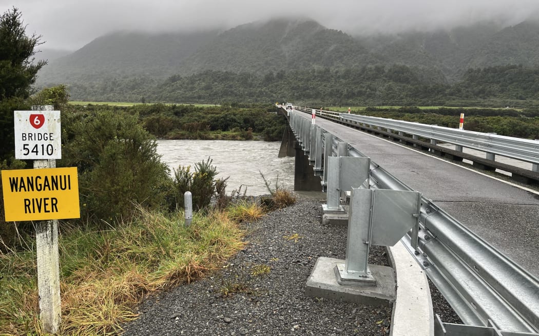
The Wanganui River Bridge on State highway 6. New rain monitoring equipment is anticipated inland from this point. Photo: Greymouth Star/Brendon McMahon
The West Coast Regional Council intends to add automatic rain monitoring equipment on the Wanganui River near Hari Hari after a series of damaging floods.
The fallout over a flood that swamped two dairy farms 12 days ago, was hot at the council meeting last week.
That was because the council had had a month of dry weather and low river flows to repair a hole in the northern bank protection scheme that was blown out in the previous flood, at Waitangi Weekend.
Councillors were briefed in-committee on a new protection plan for the Wanganui River last week, with a scheme to be presented at the rating district AGM next month.
Meanwhile, during the last flood the council was relying on hydrological data it receives from a site inland from Whataroa, about 35km to the south of Hari Hari, to anticipate and monitor river flows in the Wanganui.
The council currently does not have monitoring equipment on the Wanganui River.
Hydrology and engineering staff travel from Greymouth to watch it in an extreme rain storm - as they do for the Waiho (Waiau) at Franz Josef and other large rivers throughout the West Coast.
Council chief executive Heather Mabin said work for new river monitoring sites was ongoing and it was currently formulating "a wish list" but that would depend on funding.
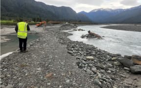
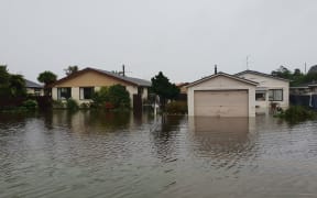
The overnight heavy spell of rain in the Wanganui River headwaters 12 days ago sent "a half-flood" down the river, widening and doubling a 100m hole in the protection bank on the true right that had opened up in early February.
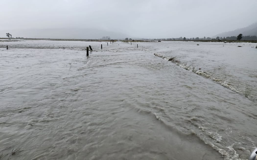
Walkington Farmland swamped on the north bank of the Wanganui River following the March 9 event which swept through the hole in a protection bank following a storm in February. Photo: Supplied/Greymouth Star
Wanganui Rating District spokesman and councillor Andy Campbell, one of two affected farmers on the true right of the Wanganui, reported 90mm of rain the night of the flood.
He told the meeting he believed most of the rain that swelled the river was "backcountry heavy rain".
The rain monitor site further south and inland of Whataroa had about 130mm.
Mabin said she understood a new gauge on the Wanganui might be a Civil Defence initiative but the council was also working on a plan to expand its hydrological monitoring work.
Following the meeting Ms Mabin said the Wanganui was "at the top of the list".
It was part of work council began when it put in for about $200,000 of 'shovel ready' Government money for new Buller River monitoring and associated preliminary work around the flood defences for Westport township.
"It's actually a piece of work we've already started."
She was unsure of the history of monitoring at the Wanganui and the previous decision making around installing equipment there. However, she had asked the relevant council departments to look at potential costs from within the current budgets to broaden the work.
River monitoring data was "a key piece of information" not only for the council but the affected communities.
She noted the Wanganui River was a strong case but she would not be drawn on other potential sites.
At this stage the cost per site was yet to emerge but aside from the equipment, having safe access to particular sites was likely to be a significant factor. This included vehicle or walking track access and the practical logistics of physically getting down to particular monitoring sites, Mabin said.
"Often, what I'm hearing, it's the access ways."
Another significant factor was having the connectivity to relay information back from the sites - a significant challenge with no cellphone coverage to remote sites on the West Coast.
"The cellphone coverage is key unless we can tap into some other system."
Local Democracy Reporting is Public Interest Journalism funded through NZ On Air