Two thousand properties around Waitangi and Paihia lost power this morning, and another fault kept children home from school.
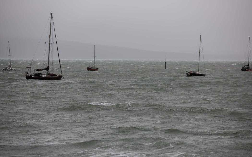
Photo: RNZ / Marika Khabazi
Top Energy said it was likely there had been a "major damage" to a 33 kilovolt line feeding the Haruru Substation in Northland.
The company has been trying to get power back on using an alternative 11 kilovolt line.

Northpower crews are dealing with damage to power lines from trees. Photo: Supplied / Northpower
In a Facebook post, it said its crews were working in "challenging conditions" and warned people to treat all power lines and electrical wiring as being live at all times.
Top Energy is also repairing other faults in the Far North, including one at Fairburn, affecting 240 properties.
Pāmapūria School, south of Kaitaia, posted on Facebook saying the school was closed for the day as it was without power for heating, pumping water and flushing toilets.
Northpower, which operates electricity distribution and fibre networks in Whangārei and Kaipara, also said in a social media post that it was dealing with outages caused by the wild weather.
A slip on Oneriri Road in Kaiwaka had caused trees to fall into power lines and customers should be prepared to be without power for most of the day, the company said.
Some Northland children were set miss out on their first day back at school due to the bad weather.
Pāmapūria School, south of Kaitaia, lost power this morning closing its doors to about 100 students, alongside 2000 other properties in the region.
Principal Cheryl Bamber waited outside her school to turn parents away when staff could not reach them.
"It's pretty hard to phone a lot of our parents because we live in rural pockets that have little or no connectivity especially in weather like this, it's pretty much zero," she said.
Bamber said the outage was a shock after two weeks of holiday.
The weather which caused the outages is set to continue today, with orange weather warnings for rain and wind in place for Northland, Auckland and Coromandel Peninsula.
MetSevice said some areas could see between 10mm and 20mm of rain falling per hour from this afternoon, with surface flooding and slips possible.
Severe northeast gales were also predicted across Northland and Auckland, with gusts up to 120km/h in exposed places.
It warned the strong winds could damage trees, powerlines and unsecured structures and make driving hazardous.
Here's an image showing the rainfall accumulations over Northland and Auckland over the past 24 hours. About 100mm in eastern parts of Northland. Less recorded around Auckland so far but more coming throughout the day. https://t.co/Yjbq0jgaoz for your forecast pic.twitter.com/qynTCghmxA
— MetService (@MetService) July 24, 2022
Civil Defence Northland said in a Facebook post that the majority of the rain overnight had fallen in the northeast of the region, particularly in the area from Whangaroa through Kaeo to Kerikeri and Waimate North.
State Highway 10 near Kaeo was expected to flood due to rising river levels and motorists were advised to exercise caution.
Orange weather warnings in place
- Heavy Rain Warning - Orange for Northland: 12hrs from 10am - 10pm Monday, 25 July
- Heavy Rain Warning - Orange for Auckland from Whangaparaoa northwards, also Great Barrier Island: 16hrs from 10am Monday, 25 July - 2am Tuesday, 26 July
- Heavy Rain Warning - Orange for Coromandel Peninsula: 20hrs from 10am Monday, 25 July - 6am Tuesday, 26 July
- Strong Wind Warning - Orange for Northland: 9hrs from 10am - 7pm Monday, 25 July
- Strong Wind Warning - Orange for Auckland including Great Barrier Island: 16hrs from 10am Monday, 25 July - 2am Tuesday, 26 July
Wet week forecast for north and south
MetService said the front would gradually spread rain southwards over the rest of the North Island and much of the South Island.
Northern and eastern parts of both islands would bear the brunt of the heaviest rainfall.
By Tuesday heavy rain was expected to ease over the North Island and would ease over the South Island by Wednesday, MetService said.
An unsettled westerly flow was expected to follow with more rain forecast for the second half of the week.
Road Snowfall Warnings were in force for South Island alpine passes.
"This comes on the back of an already very wet month for many parts of the country.
"Christchurch is likely to break its maximum July rainfall record set back in 1977, Auckland will end up finishing the month with its second wettest July ever, while Wellington will finish well above average July rainfall," MetService meteorologist David Miller said.
Cantabrians were told to brace themselves for more flooding and slips in the coming days.
Another band of rain was forecast to hit the region, with the city council warning of potential flooding and slips around Christchurch and Banks Peninsula.
Christchurch City Council's Brenden Winder said residents should prepare for more surface flooding and slips in hillside areas with grounds already saturated and river levels still high.
He said the worst of the rain was set to hit tomorrow and Wednesday.
The Dunedin City Council was preparing for forecast heavy rain that could cause flooding, slips and make driving difficult.
MetService issued an orange alert heavy rain warning for the southern city with 60 to 90 millimetres of rain expected to fall tomorrow morning.
The council said the ground was already very wet following recent rain.
It said staff and contractors were checking stormwater and wastewater systems, while road maintenance contractors had been sweeping out gutters and checking low lying mud tanks.
Farmers moving stock as rain sets in
Farmers in rain-drenched Northland have been moving stock to drier areas.
Colin Hannah, who farms just outside of Whangārei, said the ground on his farm was saturated, after 45 millimetres of rain fell overnight.
"The cows are probably walking-in more than they're eating at the moment," he told RNZ.
"I'm getting stuck even on the simplest places at the moment on the farm, so that gives you some idea how wet it is, and when I look at the forecast for the next week, it doesn't look too good."
He said farmers should move stock to hard ground now, if they hadn't already.
Transport in Auckland affected by weather conditions
A number of public transport routes across Tāmaki Makaurau have been impacted by today's wind and rain.
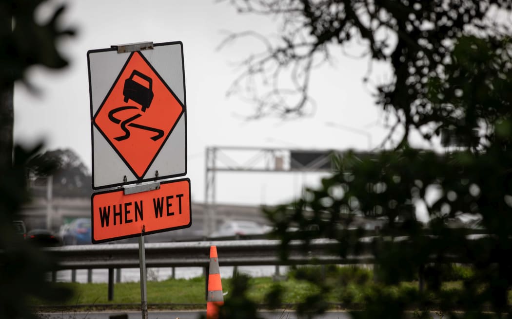
A warning sign to motorists in Auckland. Photo: RNZ / Marika Khabazi
Auckland Transport has advised that Gulf Harbour ferry services will be replaced by bus or shuttle. All Pine Harbour ferry services have also been cancelled, with bus replacements arranged for the 16.00 and 17.00 Auckland to Pine Harbour services.
Waka Kotahi is also asking motorists crossing the Auckland Harbour Bridge to allow extra time for their journeys as speed restrictions are in place due to the high wind gusts and one northbound lane is blocked due to emergency repairs of a broken streetlight.
Gusts of 85 km/h have been recorded on the bridge this morning and temporary full closures may be required if winds reach 90km/h.
UPDATE 10:35AM
— Waka Kotahi NZTA Auckland & Northland (@WakaKotahiAkNth) July 24, 2022
Three lanes north are now available, with delays easing northbound through the Spaghetti Jctn area. Four lanes remain open southbound, with no delays. Wind gusts continue with speed restrictions in place. Take extra care and allow extra time. ^TP https://t.co/QDoCCpTUZv
MetService is warning Auckland drivers to expect delays as the weather deteriorates this afternoon.
Meteorologist Lewis Ferris said wind gusts could rise to 110 km/h on the harbour bridge.
"People who will be looking to cross the harbour bridge throughout today and even later into tonight, will need to just be taking a look out for that, seeing if there is going to be any closures."
Wet and cold Waitaki District
Boil water notices remained in effect in Ōmarama and Otematata, though they would be reviewed today.
The clean up around the Waitaki District continues after the area was hammered by wild weather last week.
Waitaki District Council said a structural engineer had checked bridges affected by the floods last week and found they were structurally sound.
A number of local road closures remained in effect and cautions and lower speeds were in place on others as contractors continue repairs.
The council warned the district was wet and cold so motorists should be prepared for icy roads and drive to the conditions.
West Coast residents brace for strong winds
Buller residents were warned to prepare for a windy night, with easterly winds forecast to reach severe gales in exposed places.
MetService issued a strong wind watch for the region, two weeks after strong winds caused power outages and forced the closure of several roads.
The warning was in place from Monday afternoon until 6am Tuesday morning.
West Coast Emergency Management's Claire Brown said there were no specific concerns about the wind forecast but she advised residents to secure any loose items on their property overnight.